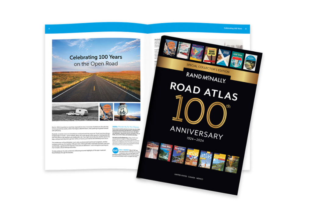
Celebrating 100 Years on the Open Road
The Rand McNally Road Atlas has been an essential tool on the Great American Road Trip since the publication of 1924’s Auto Chum, the predecessor of today’s atlas. The 100th Anniversary Special Collector’s Edition celebrates 100 years of roadside culture, cars, and the highway system that shaped the open road.
Take a look at some of the most interesting covers, from the very beginning through today.
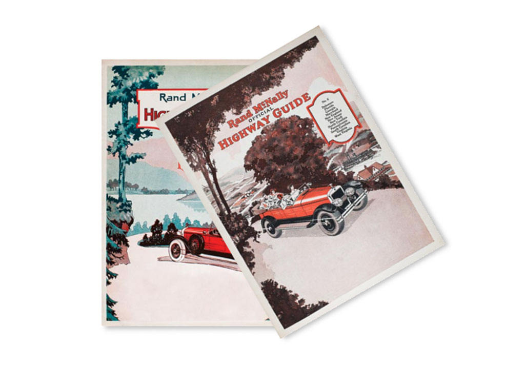
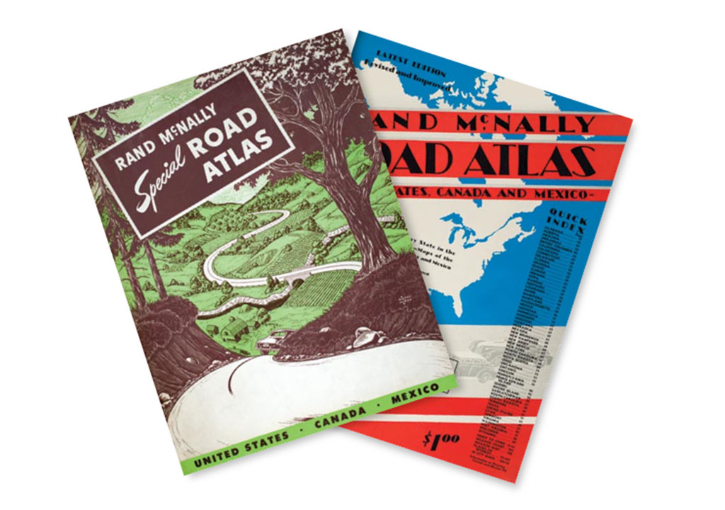
1920s
A new standard of living. A time of prosperity. Modernity for the masses.
Besides Art Deco, American realism was a popular art style of the time. Road Atlas covers depicted aspirational scenes realistically drawn to showcase the accessibility and possibility of adventure for everyone out on the road.You can use this widget to input text into the page.
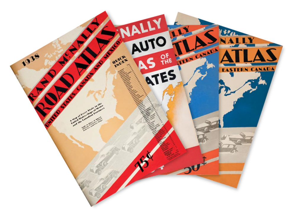
1930s
An economic downturn. Roads of opportunity. The age of machinery.
The graphic design style of the day was reflected in the Road Atlas covers. Tempered colors, curved shapes, and bold lines defined the 1930s deco with a sense of movement and scale that spoke to a better future and the accessibility of modern machinery like the automobile.
1940s
World War II. Travel halted. Recovery to prosperity.
Graphic design reflected the impact of the Second World War. Deco designs gave way to a more somber tone. After 1945, however, designs were more optimistic and abstract, with rich but minimal color palettes that suggest sunnier times ahead.
1950s
Family cars. The ’burbs. The birth of the interstate.
The 1950s design styles reflected mid-century modern, international, and Bauhaus. From the cars people drove to the Rand McNally Road Atlases that guided them, design was clean with simple lines, limited colors, and artistic typefaces.
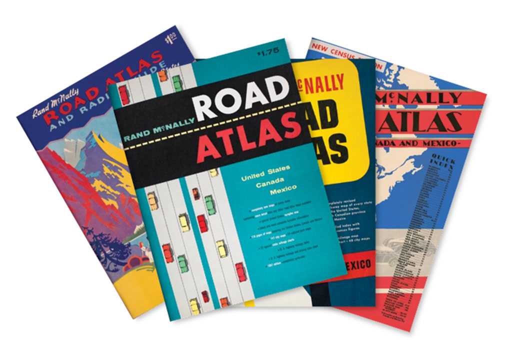
1960s
Cheap fuel. Big cars. Big changes.
Sixties design reflected pop art, optical art, and psychedelic influences. Road Atlas covers took cues from advertising and movie posters, favoring clear graphic communication in flat colors and iconic shapes. Graphics, and even type fonts, were image-filled to communicate more with less.
1970s
Gas shortage. Speed limit. Economy cars.
Photography drove Road Atlas design in the 1970s. Type and illustrations were mixed with photos and collages of color-enhanced images. Straightforward and efficient was the design, just like the cars travelers drove.
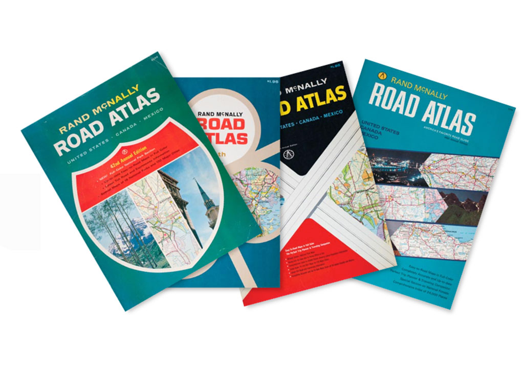
1980s
Commuters. American optimism. Family road trips.
Crisp photos dominated Rand McNally Road Atlas covers, showcasing America’s beauty in big, bold hues and letting the image sell the adventure. American imagery dominated the covers, reflecting renewed national pride that made exploring the United States popular.
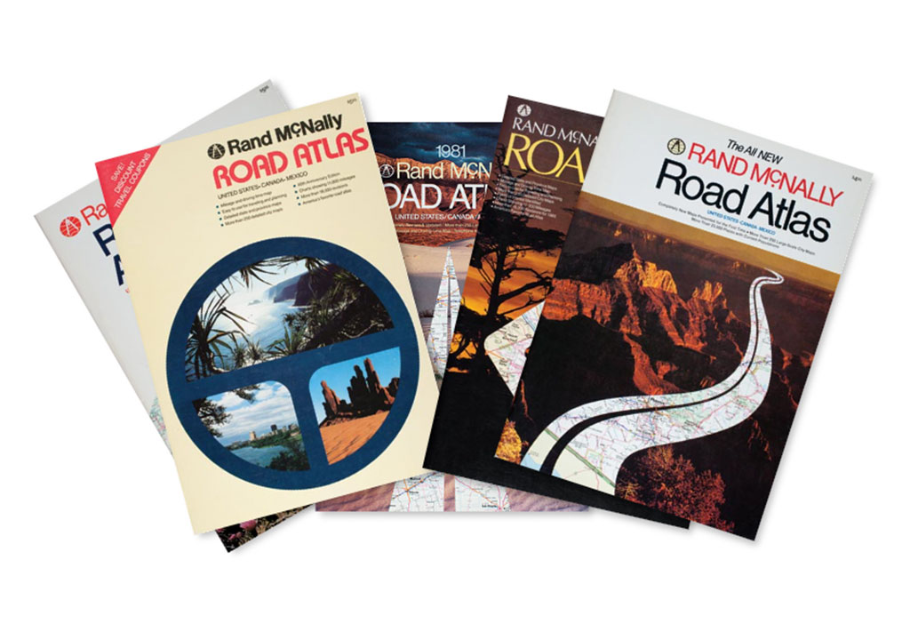
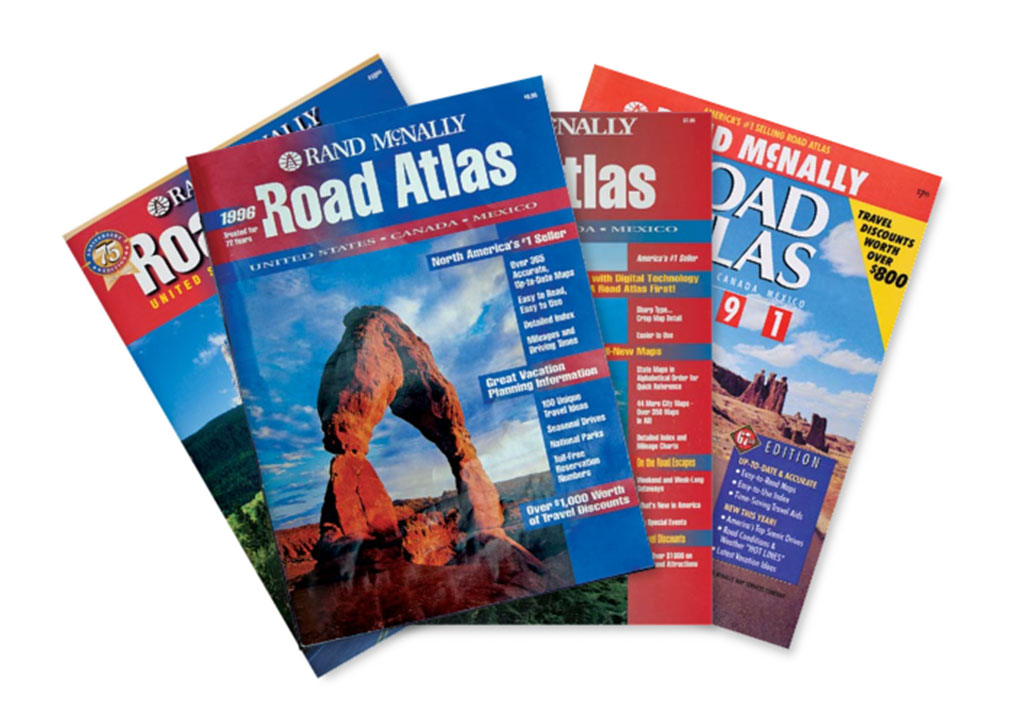
1990s
SUVs zoom. Technology booms.
It was a digital design decade – computers were used for design and typesetting. Professional digital cameras captured and stored photos. Printing from film was replaced with digital processes. Covers at the time reflected a more magazine-like feel with bits of copy and beautiful landscape photos.
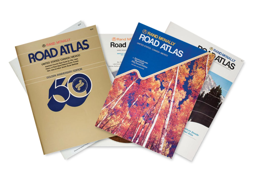
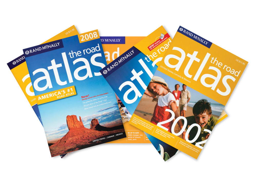
2000s
More time on the road. Keeping up with drivers.
Advanced software allowed designers to create more expressive and communicative covers. Rand McNally focused imagery on the “destination” for vacationers and introduced the distinctive yellow that identifies the atlas to this day.
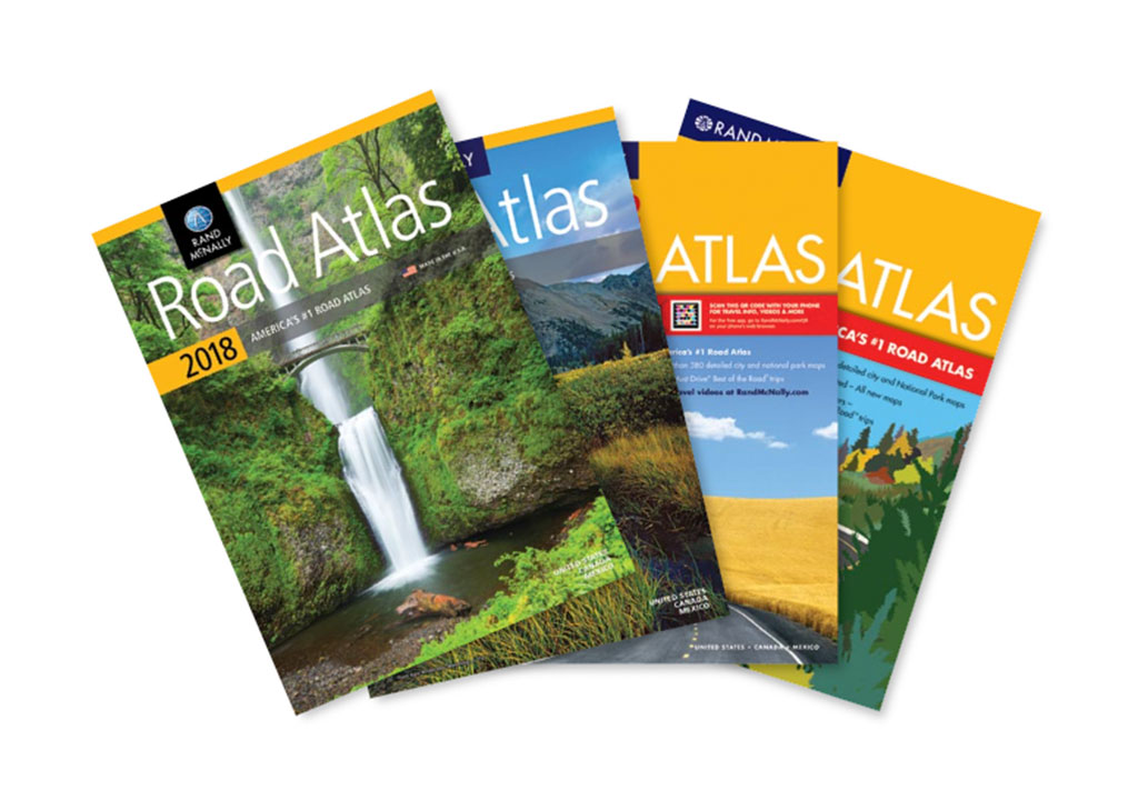
2010s
The journey continues.
Road Atlas covers during this decade showcased beautiful landscapes and national parks in high-resolution, full-bleed photos – providing visual inspiration for hopping in the car and hitting the road.
2020s
Road Travel Renaissance.
The pandemic brought a resurgence of the Great American Road Trip – families now had the time to explore from coast to coast. Captivating scenic images on the covers reminded folks of the beauty in the various landscapes.

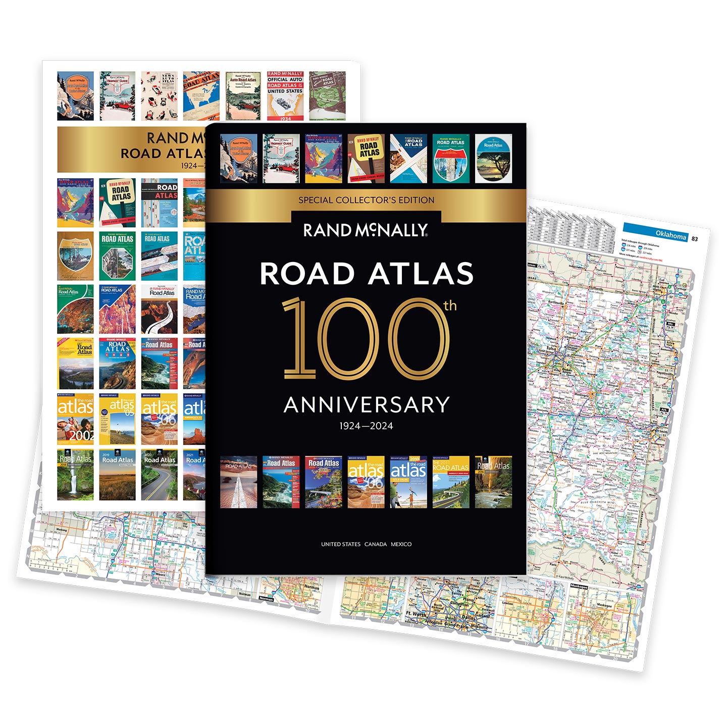
The Road Atlas
100th Anniversary Special Collector’s Edition
Celebrating its centennial anniversary, the 2024 Special Collector’s Edition features a trip down memory lane – a nostalgic look back at 100 years of roadside culture, cars, and the highway system that shaped the open road. The front and back covers showcase Road Atlas covers throughout the years.
The 2024 Road Atlas line features fully-updated maps, mileage charts, road construction and tourism information, along with hundreds of city detail maps.